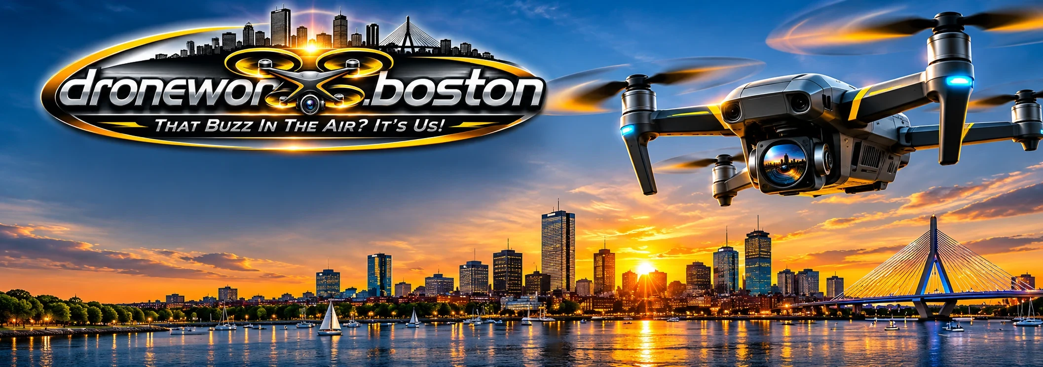

Boston's Premier Drone Services
FAA-Certified Aerial Photography, Virtual Tours & Mapping for Real Estate, Construction & Beyond

Our Expertise
What We Do

Real Estate
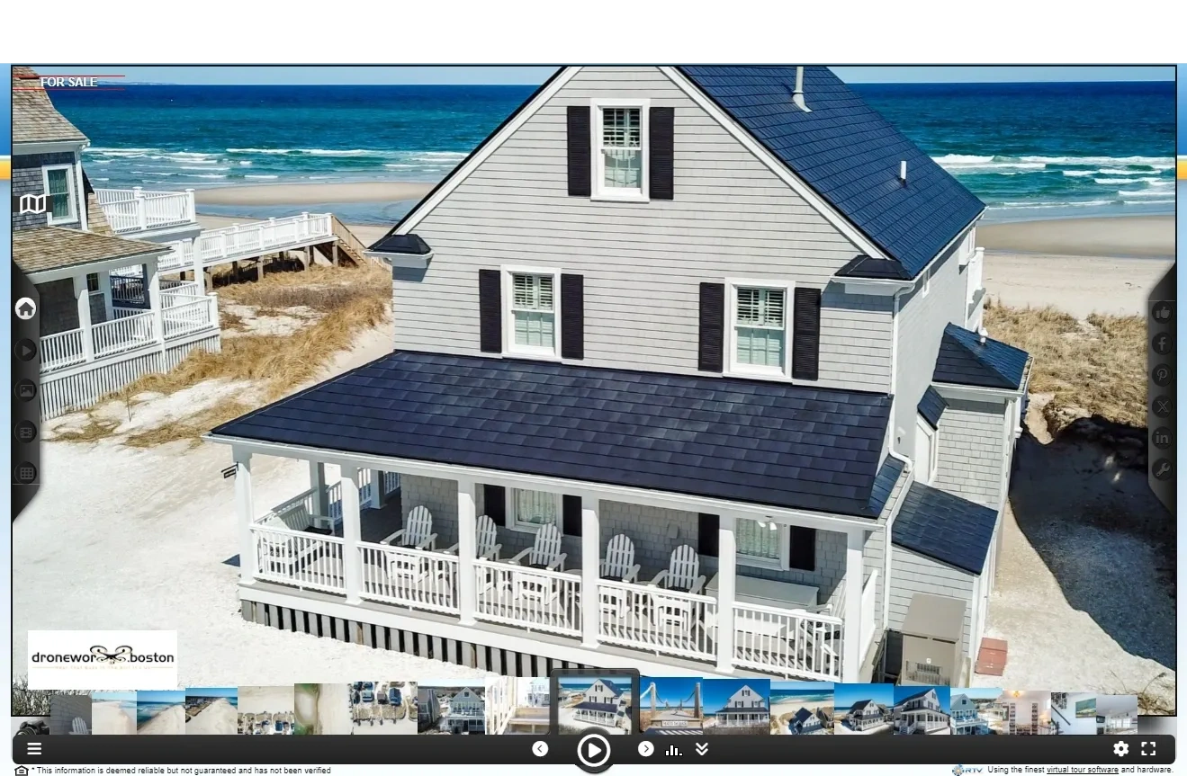
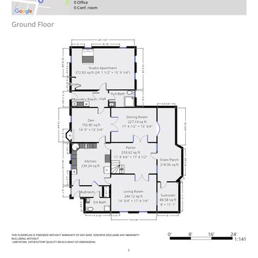
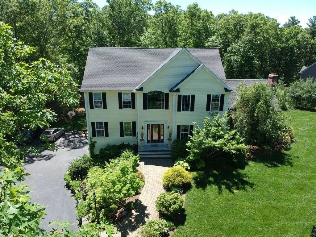
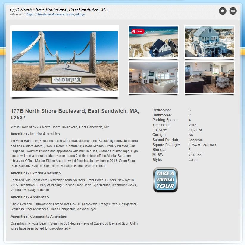
Stunning aerial and interior photography that sells properties faster. We make listings stand out with cinematic drone shots and immersive virtual tours.
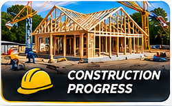
Construction
Progress monitoring, site documentation, and 3D mapping for construction projects of any scale. Keep stakeholders informed with regular aerial updates.
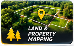
Land Mapping
Precision aerial mapping and surveying with centimeter-level accuracy. Ideal for land developers, engineers, and municipal projects.
Solar Inspections
Thermal imaging and visual inspections of solar arrays to identify underperforming panels and maintenance needs — safely and efficiently.

Infrastructure
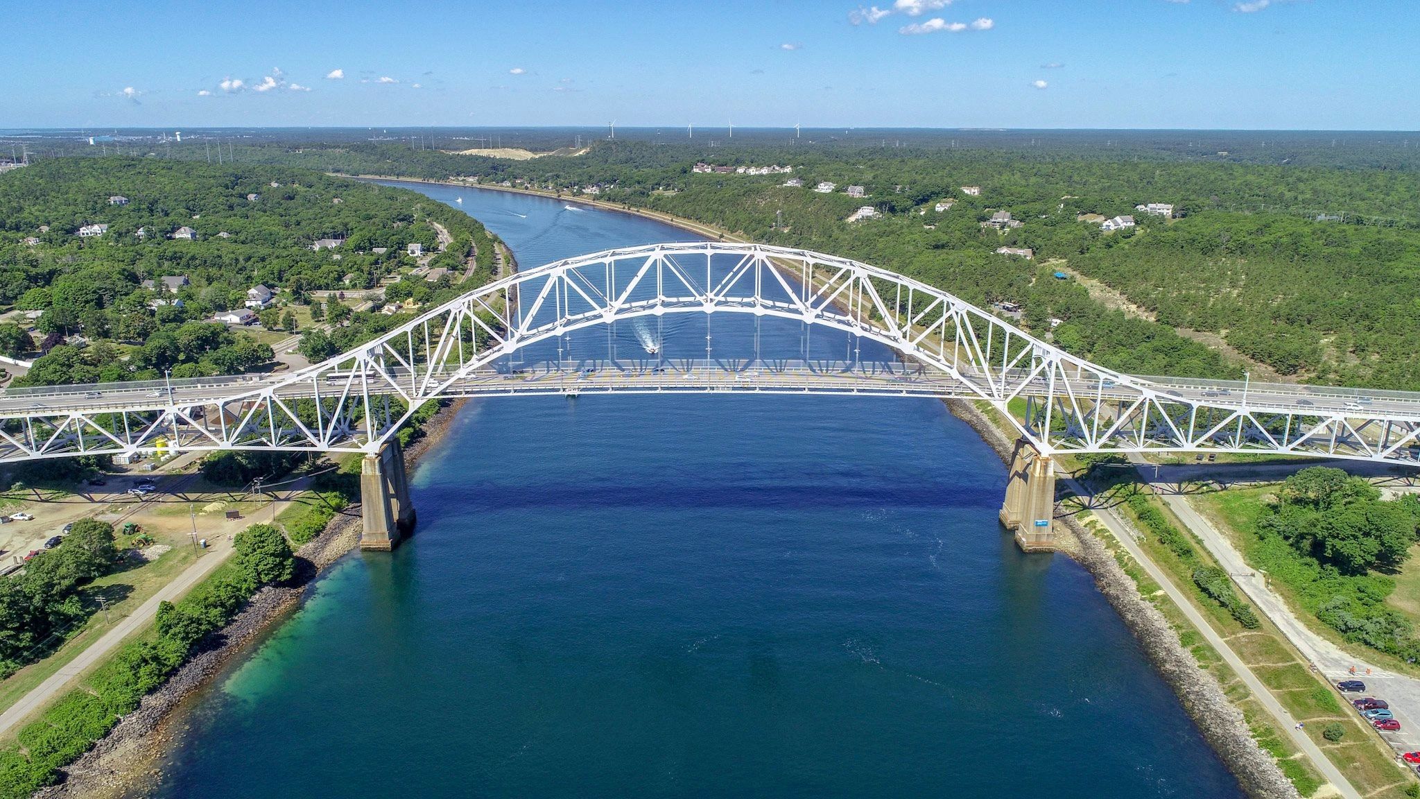
Bridge, tower, and utility inspections without scaffolding or risk. Our drones access hard-to-reach areas with precision and safety.

Cinematic Video
Broadcast-quality aerial video for marketing, events, and storytelling. From sweeping establishing shots to dynamic tracking sequences.



Who We Are
About DroneWorX Boston
DroneWorX Boston is Greater Boston's leading FAA-certified drone services company. Based in Plymouth, MA, we serve clients across Massachusetts and New England with professional aerial photography, videography, virtual tours, and precision mapping.
Our pilots are fully licensed, insured, and experienced across a wide range of industries — from luxury real estate to large-scale construction. We combine cutting-edge drone technology with a passion for visual storytelling.
Meet Our TeamThrough the Lens
DroneWorX Boston Gallery




Get In Touch
Contact Us
For inquiries into our work or availability, please use the form below. We'll get back to you as soon as possible!